Rainbow Rocks Trail, Moab, UT

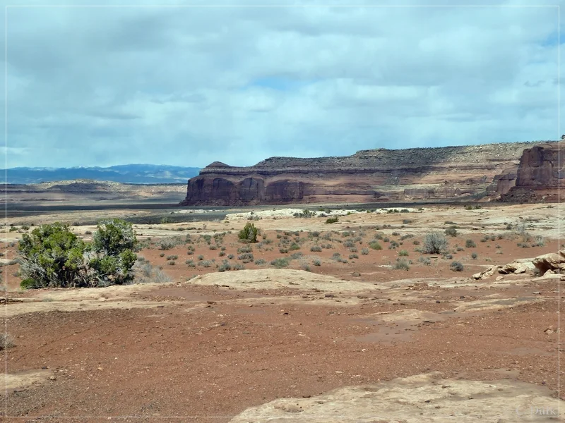
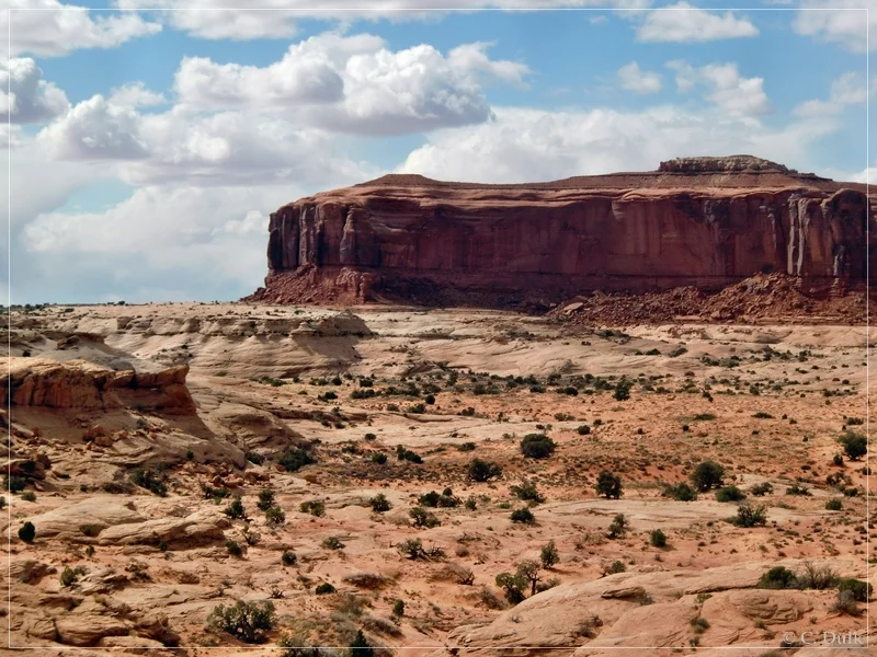
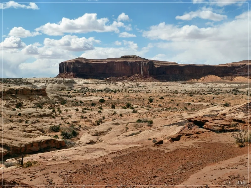
As we had some time left on our way back from Rock Canyon Point, we headed down onto the Rainbow Rocks (Rainbow Terrace) trail. Coming from Dubinky Well Road the trail goes to the right from Spring Canyon Point Road after passing Tombstone Butte (“The Needles”)and leads to a terrace after crossing a wash, which follows the Rainbow Rocks below the Rainbow Rims region towards Levi Well Road. This spur trail is also part of the Crystal Geysir trail, which is driven sometimes during Easter Jeep Safari.

We came back from Rock Canyon Point on Spring Canyon Point Road and turned to the left at 12S 59399X 428232X (UTM/NAD27). We were following an easy trail along the Rainbow Rocks:

Rainbow Rocks Trail, Moab, UT

Rainbow Rocks Trail, Moab, UT

Rainbow Rocks Trail, Moab, UT

Rainbow Rocks Trail, Moab, UT

Rainbow Rocks Trail, Moab, UT

At the beginning, the trail was sandy, but soon it got more rocky:.

Rainbow Rocks Trail, Moab, UT

The spur is pretty good visible and sometimes also marked by white dash lines.

Rainbow Rocks Trail, Moab, UT

Rainbow Rocks Trail, Moab, UT

Here a view backward:

Rainbow Rocks Trail, Moab, UT

Then it got again a little bit more rocky:

Rainbow Rocks Trail, Moab, UT

Rainbow Rocks Trail, Moab, UT

Rainbow Rocks Trail, Moab, UT

There are also some small ledges:

Rainbow Rocks Trail, Moab, UT

And soon we are reaching the wash:

Rainbow Rocks Trail, Moab, UT

On the opposite side we are going about to drive out of the wash again to reach Rainbow Terrace:

Rainbow Rocks Trail, Moab, UT

Rainbow Rocks Trail, Moab, UT

Rainbow Rocks Trail, Moab, UT

At the end of the wash crossing a small ledge:

Rainbow Rocks Trail, Moab, UT

Rainbow Rocks Trail, Moab, UT

Here a view back, from where we came:

Rainbow Rocks Trail, Moab, UT

Then we were continuing on the terrace:

Rainbow Rocks Trail, Moab, UT

Here a picture of the vicinity….

Rainbow Rocks Trail, Moab, UT

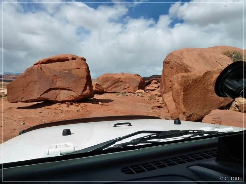
….then we moved forward between those rocks:
Rainbow Rocks Trail, Moab, UT

Rainbow Rocks Trail, Moab, UT

In the background one can see the Book Cliffs and Ten Mile Canyon is also not far away:

Rainbow Rocks Trail, Moab, UT

Here again a view up to the Rainbow Rim…

Rainbow Rocks Trail, Moab, UT

…before we soon come closer to Motorcycle Hill:

Rainbow Rocks Trail, Moab, UT

After a short time we have to leave the “Rainbow Terrace”. On a sandy trail, which sometimes had some slickrock patches, we went forward to reach Levi Well/Blue Hills Road.

Rainbow Rocks Trail, Moab, UT

Rainbow Rocks Trail, Moab, UT

We reached then a cross route at (12S 59175X 428922X), where the left spur goes down to ‘Dripping Spring’ and the right one towards Blue Hills Road. We turned to the right and cruised through the Blue Hills:

Rainbow Rocks Trail, Moab, UT

After some time we saw the La Sal´s in the background and US191 was not far away:

Rainbow Rocks Trail, Moab, UT

Most of the shown picture include the gps positions, where they were taken, in the exif data.

The trail was moderate at tthe time, we drove it. The most difficult part was the climb out of the wash, which was not really challenging.

For a better orientation, one can downlload a gpx file of this trip:

And here is an overview of the area, we visited:

Similar Posts

  • Jeep trail on the Bookcliffs (Start from Coal Canyon), Bookcliffs, UT

    Last year we did this trail on the Bookcliffs first level, starting from Green River, UT and going up via Tusher Canyon. There we saw the upcoming trail from Coal Canyon, which is an old trail and should not always be passable. In Coal Canyon you can find a lot of indian rock art. Detailed…

  • Eardley Canyon/Straight Wash, San Rafael Swell, UT

    As we had to cancel our planned trip to Cane Wash, due to a service for our Jeep, we thought about to visit Eardley Canyon. Some time ago, we read Rolfs description of Ernie Canyon and decided to visit the neighbour canyon.

    Without having any detailed information we started from Green River, UT on I-70 until we reached the exit to UT-24. We follow UT-24 towards Hanksville. At 12S 54798X 429013X (UTM/NAD27) we are turning right on a dirt road, which leads towards the Reef. The following picture shows the turnoff.

    San Rafael Swell - Eardley Canyon/Straight Wash

  • Hey Joe Canyon Rim, Cliffhanger Arch and Amphietheater Trail, Moab, UT

      In march, 2015 our friend Mal joined us for a trail run in Moab, UT. He did not want to do any difficult stuff, so I suggested to run something easy, but new to us. We planned to visit Hey Joe Canyon Rim and the nearby Cliffhanger Arch. On the way back to Moab,…

  • Hidden Canyon Overlook-, Hidden Canyon Rim Escape- and Bartlett Overlook-Trail, Moab, UT

    As we had bad weather in the Swell this day, we moved to Moab, UT for some nice and scenic 4wheeling adventures. Our target was Hidden Canyon Overlook. From there we planned to go up to Bartlett Rim by using the ‘Rim Escape’ trail and visiting Bartlett Overlook. Rolf (Hatchcanyon) wrote a great trip report,…

Leave a Reply